 |
HOME |  |
Research | |
Publications | |
CVisions |
|
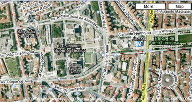
This project is in the domain of large scale 3D modelling of urban areas. In few words, we would like to obtain the complete 3D reconstruction of the buildings in the area surrounding IST. Such approach is of relevant importance in urban planning and as a mean of simple visualization for navigation in urban environments (as in the Google Earth/Maps tool).
|
|
Our project is aimed to find the simplest solution to the problem using a set of fixed stereo cameras. Using current advancements in the photometric and 3D reconstruction techniques, we seek to reconstruct both the 3D shapes of the buildings and their texture in the surrounding area. This approach would require only the stereo pair of cameras to remain fixed in the same position for some days (depending by the weather conditions). The testbed for this project will be some viewspots from windows of the Torre Norte in IST where the camera could observe a remarkable city area.
|
|
This project has the aim to merge two well-known properties of the visible objects: Their 3D structure and their capacity of reflecting light. Briefly, we will use a stereo pair of cameras to compute a disparity map (relative depth of the buildings in the image) to have a coarse indication where the buildings are located.
Then we will use a set of images of the same area at different times during the day to compute the reflectance properties of the buildings. This will give us an information on the surface of a palace and its real texture independent by the luminance conditions.
By merging both the relative position of the buildings and their texture we could, for instance, localize each urban construction in Google maps and then visualize the computed 3D model on Google earth.
|
Project ObjectivesAn automatic system for the generation of large scale 3D models using a simple and cheap equipment with negligible human intervention. The theoretical results will have also a remarkable impact in the scientific community. The dissemination of these results will be advertised using the Google earth software. Required skills are an entry-level knowledge of MATLAB scientific language. Knowledge on Image processing and Computer Vision are a plus for this project. For further questions please contact:Prof. Jose Gaspar. Torre Norte, Piso 7, Room 7.19 Dr. Alessio Del Bue Torre Norte, Piso 7, Room 7.25 Phone Number: 2299 |
References:Alejandro Troccoli and Peter Allen. Building Illumination Coherent 3D Models of Large-Scale Outdoor Scenes. IJCV 2008. |
| Updated Apr 2009 by Alessio Del Bue |